Cadron Settlement Park
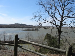
Cadron Settlement Park is located just west of Conway, Arkansas, where Cadron Ridge intersects with the Arkansas River.
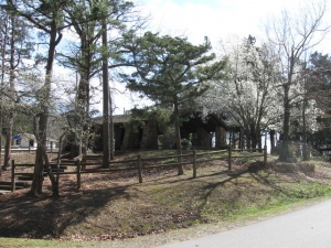
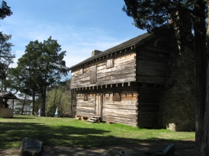
Cadron Settlement was possibly first visited by Spanish explorer and conquistador Hernando de Soto in 1541. The park is notable for its replica of an eighteenth-century blockhouse, which originally protected settlers from marauding Osage Indians, and for Cadron Creek which provided a fresh water supply. In the early nineteenth century the original blockhouse served as the residence of John McElmurry and his family. The replica blockhouse was constructed in 1979 from native cypress logs with funding from the Conway Chamber of Commerce and the Faulkner County Historical Society.
At one point Cadron Settlement was considered a candidate for the site of the Arkansas state capitol. In 1820 the first General Assembly of Arkansas Territory located county government in the town of Cadron at the outlet of Cadron Creek along the Arkansas River.
Seven to eight hundred Cherokee Indians stopped here on April 8, 1834, during a period of low water in the river. The Steamboat Yeatman was transporting them to reservations in Oklahoma. A small Cherokee Trail of Tears Memorial is located in the park in memory of the eighty-six Native Americans who died here in 1834 of what was called the "summer (or bowel) complaint," and is now called cholera.
The park also has a boat launch, trails, a pavilion, and restrooms. Tollantusky Trail is named for an Arkansas Cherokee chief who is believed to have lived in Cadron Settlement from 1809 to 1817.
Cadron Settlement Park is reached by following U.S. Highway 64 out of the city to its junction with Arkansas Highway 319. The park is 1.5 miles west down Highway 319. The park is administered by the U.S. Army Corps of Engineers - Little Rock District.
References
- Patty Delano, Off the Beaten Path Arkansas: A Guide to Unique Places, (Globe Pequot, 2006), 211-212.


