File list
From FranaWiki
This special page shows all uploaded files.
| Date | Name | Thumbnail | Size | User | Description | Versions |
|---|---|---|---|---|---|---|
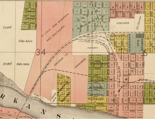
| 00:05, 11 October 2009 | Iron-mountain-rr-grounds.jpg (file) |  |
85 KB | Phil | Iron Mountain Railroad grounds in North Little Rock, Arkansas. From Rickon, Gibb & Duff, ''Map of the City of Little Rock and Argenta, Arkansas: Compiled from Official Sources and Actual Surveys.'' Map in public domain. | 1 |
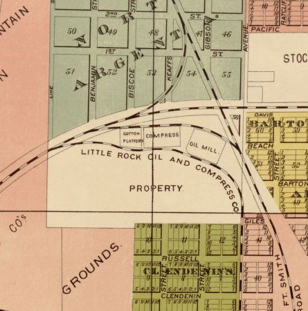
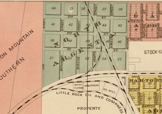
| 00:05, 11 October 2009 | Lr-oil-compress-co-map.jpg (file) |  |
55 KB | Phil | Little Rock Oil & Compress Company. From Rickon, Gibb & Duff, ''Map of the City of Little Rock and Argenta, Arkansas: Compiled from Official Sources and Actual Surveys.'' Map in public domain. | 1 |
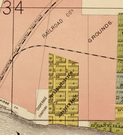
| 00:05, 11 October 2009 | Marshall-wolfes-addition.jpg (file) |  |
58 KB | Phil | Marshall & Wolfe's Addition. From Rickon, Gibb & Duff, ''Map of the City of Little Rock and Argenta, Arkansas: Compiled from Official Sources and Actual Surveys.'' Map in public domain. | 1 |
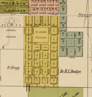
| 00:06, 11 October 2009 | Masonic-addition-map.jpg (file) |  |
31 KB | Phil | Masonic Addition. From Rickon, Gibb & Duff, ''Map of the City of Little Rock and Argenta, Arkansas: Compiled from Official Sources and Actual Surveys.'' Map in public domain. | 1 |
| 00:06, 11 October 2009 | Mcdiarmids-addition.jpg (file) |  |
52 KB | Phil | McDiarmid's Addition. From Rickon, Gibb & Duff, ''Map of the City of Little Rock and Argenta, Arkansas: Compiled from Official Sources and Actual Surveys.'' Map in public domain. | 1 |
| 00:07, 11 October 2009 | North-argenta-map.jpg (file) |  |
55 KB | Phil | North Argenta. From Rickon, Gibb & Duff, ''Map of the City of Little Rock and Argenta, Arkansas: Compiled from Official Sources and Actual Surveys.'' Map in public domain. | 1 |
| 00:07, 11 October 2009 | Oakland-national-cem.jpg (file) |  |
30 KB | Phil | Oakland and National cemeteries in Little Rock, Arkansas. From Rickon, Gibb & Duff, ''Map of the City of Little Rock and Argenta, Arkansas: Compiled from Official Sources and Actual Surveys.'' Map in public domain. | 1 |
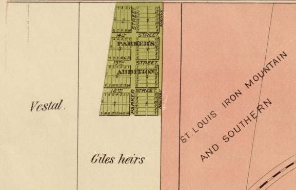
| 00:07, 11 October 2009 | Parkers-add-nlr.jpg (file) |  |
32 KB | Phil | Parker's Addition in North Little Rock, Arkansas. From Rickon, Gibb & Duff, ''Map of the City of Little Rock and Argenta, Arkansas: Compiled from Official Sources and Actual Surveys.'' Map in public domain. | 1 |
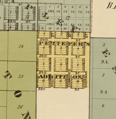
| 00:08, 11 October 2009 | Pettefers-add-map.jpg (file) |  |
38 KB | Phil | Pettefer's Addition. From Rickon, Gibb & Duff, ''Map of the City of Little Rock and Argenta, Arkansas: Compiled from Official Sources and Actual Surveys.'' Map in public domain. | 1 |
| 00:08, 11 October 2009 | Russells-addition-map.jpg (file) |  |
43 KB | Phil | Russell's Addition. From Rickon, Gibb & Duff, ''Map of the City of Little Rock and Argenta, Arkansas: Compiled from Official Sources and Actual Surveys.'' Map in public domain. | 1 |
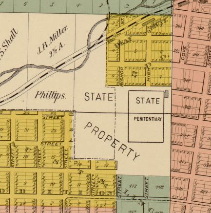
| 00:08, 11 October 2009 | State-penitentiary-map.jpg (file) |  |
62 KB | Phil | Grounds of the Arkansas State Penitentiary. From Rickon, Gibb & Duff, ''Map of the City of Little Rock and Argenta, Arkansas: Compiled from Official Sources and Actual Surveys.'' Map in public domain. | 1 |
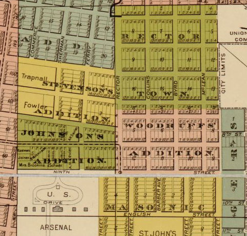
| 00:10, 11 October 2009 | Steven-john-wood-rector-add.jpg (file) |  |
86 KB | Phil | Stevenson's, Johnson's, Woodruffs', and Rector Town additions. From Rickon, Gibb & Duff, ''Map of the City of Little Rock and Argenta, Arkansas: Compiled from Official Sources and Actual Surveys'' (1888). Map in public domain. | 1 |
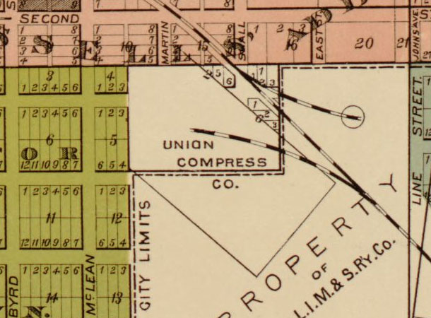
| 00:11, 11 October 2009 | Union-compress-co-map.jpg (file) |  |
68 KB | Phil | Union Compress Company grounds. From Rickon, Gibb & Duff, ''Map of the City of Little Rock and Argenta, Arkansas: Compiled from Official Sources and Actual Surveys'' (1888). Map in public domain. | 1 |
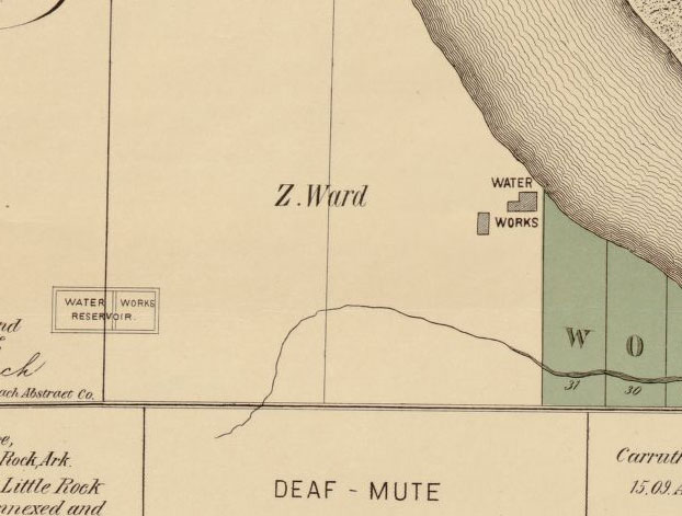
| 00:11, 11 October 2009 | Water-works-reservoir.jpg (file) |  |
46 KB | Phil | Location of the Little Rock Water Works and Reservoir in 1888. From Rickon, Gibb & Duff, ''Map of the City of Little Rock and Argenta, Arkansas: Compiled from Official Sources and Actual Surveys'' (1888). Map in public domain. | 1 |
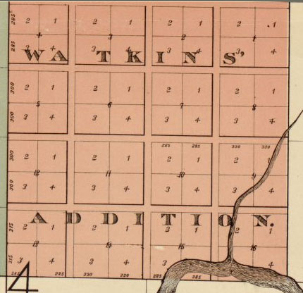
| 00:11, 11 October 2009 | Watkins-add-map.jpg (file) |  |
42 KB | Phil | Watkin's Addition. From Rickon, Gibb & Duff, ''Map of the City of Little Rock and Argenta, Arkansas: Compiled from Official Sources and Actual Surveys'' (1888). Map in public domain. | 1 |
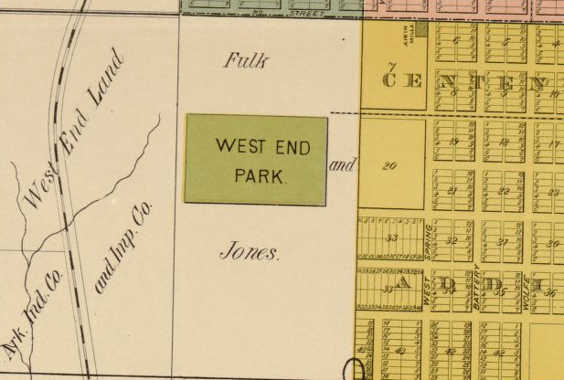
| 00:12, 11 October 2009 | West-end-park-map.jpg (file) |  |
58 KB | Phil | West End Park. From Rickon, Gibb & Duff, ''Map of the City of Little Rock and Argenta, Arkansas: Compiled from Official Sources and Actual Surveys'' (1888). Map in public domain. | 1 |
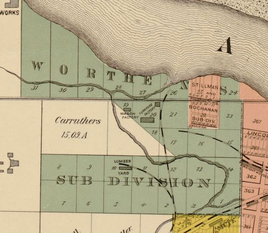
| 00:12, 11 October 2009 | Worthens-subdivision.jpg (file) |  |
68 KB | Phil | Worthen's Subdivision. From Rickon, Gibb & Duff, ''Map of the City of Little Rock and Argenta, Arkansas: Compiled from Official Sources and Actual Surveys'' (1888). Map in public domain. | 1 |
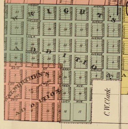
| 00:12, 11 October 2009 | Wrights-worthens-adds.jpg (file) |  |
66 KB | Phil | Wright's and Worthen's addition. From Rickon, Gibb & Duff, ''Map of the City of Little Rock and Argenta, Arkansas: Compiled from Official Sources and Actual Surveys'' (1888). Map in public domain. | 1 |
| 01:05, 11 October 2009 | Dcantillon.jpg (file) |  |
78 KB | Phil | D'Cantillon and D'Cantillon Addition in North Little Rock, Arkansas. Source: Rickon, Gibb, and Duff, ''Map of the city of Little Rock and Argenta, Arkansas: Compiled from Official Sources and Actual Surveys'' (Little Rock, Arkansas: Rickon, Gibb & Duff, 1 | 1 |
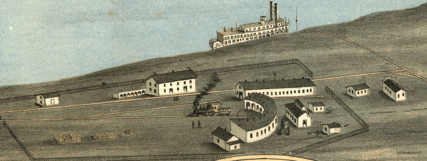
| 01:58, 11 October 2009 | Little-rock-memphis-rr.jpg (file) |  |
49 KB | Phil | Grounds of the Memphis and Little Rock Railroad in North Little Rock, Arkansas. Source: A. Ruger, ''Bird's Eye View of the City of Little Rock, the Capitol of Arkansas'' (A. Ruger, 1871). Drawing in public domain. | 1 |
| 02:20, 11 October 2009 | School-blind-1887.jpg (file) |  |
32 KB | Phil | The Arkansas School for the Blind. Source: ''Perspective Map of the City of Little Rock, Ark., State Capital of Arkansas, County Seat of Pulaski County'' (Milwaukee, WI: Beck & Pauli Lith. Co., 1887). In public domain. | 1 |
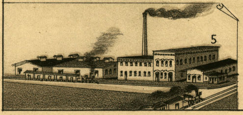
| 02:20, 11 October 2009 | Southern-oil-mills.jpg (file) |  |
41 KB | Phil | Southern Oil Mills in 1887. Source: ''Perspective Map of the City of Little Rock, Ark., State Capital of Arkansas, County Seat of Pulaski County'' (Milwaukee, WI: Beck & Pauli Lith. Co., 1887). In public domain. | 1 |
| 02:21, 11 October 2009 | Wing-foundry-1887.jpg (file) |  |
106 KB | Phil | D. R. Wing & Co., Machine Shop. Source: ''Perspective Map of the City of Little Rock, Ark., State Capital of Arkansas, County Seat of Pulaski County'' (Milwaukee, WI: Beck & Pauli Lith. Co., 1887). In public domain. | 1 |
| 02:48, 11 October 2009 | American-bauxite.jpg (file) |  |
31 KB | Phil | American Bauxite Company plant near Benton, Arkansas. Postcard detail in public domain. | 1 |
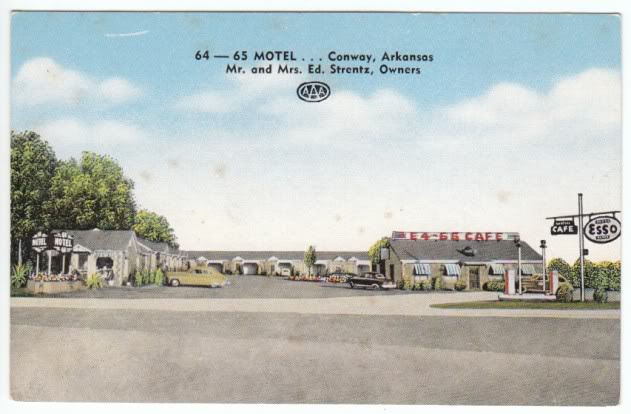
| 10:24, 15 October 2009 | 64-65-motel-conway.jpg (file) |  |
48 KB | Phil | 64-65 Motel in Conway, Arkansas. Postcard in public domain. | 1 |
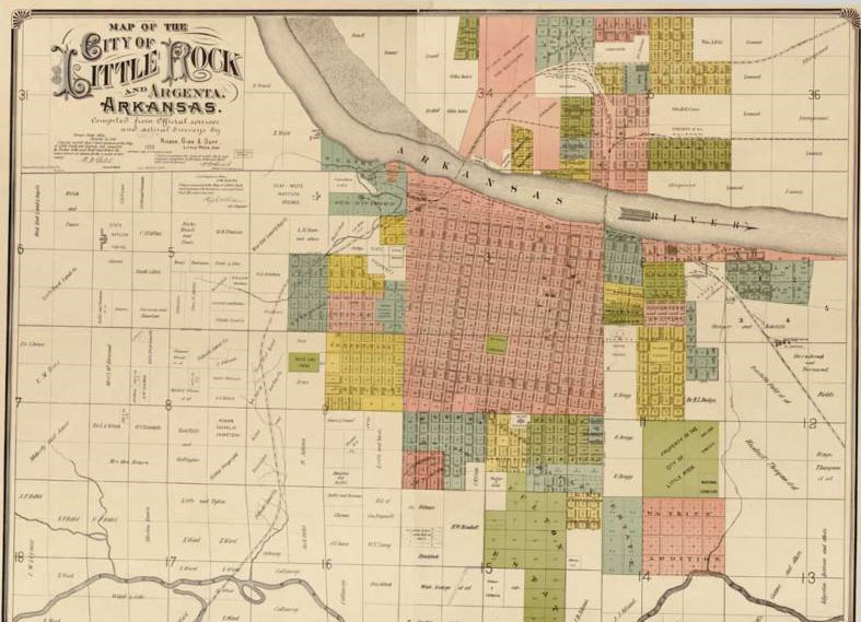
| 10:24, 15 October 2009 | 1888-little-rock-map.jpg (file) |  |
105 KB | Phil | Little Rock map, 1888. Map in public domain. | 1 |
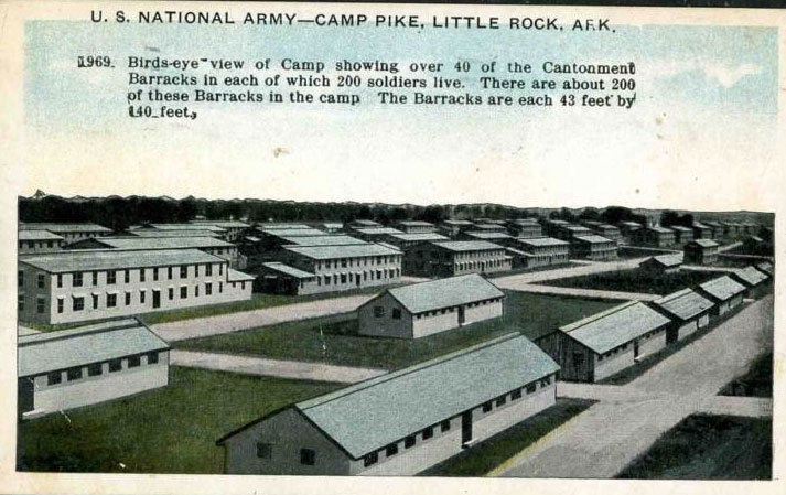
| 10:25, 15 October 2009 | Camp-pike-barracks.jpg (file) |  |
88 KB | Phil | Barracks at Camp Pike. Postcard in public domain. | 1 |
| 10:25, 15 October 2009 | Camp-pike-muster.jpg (file) |  |
81 KB | Phil | Barracks at Camp Pike. Postcard in public domain. | 1 |
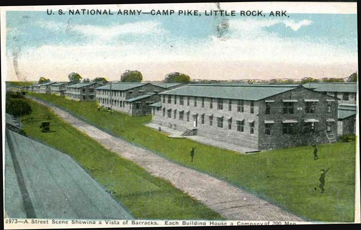
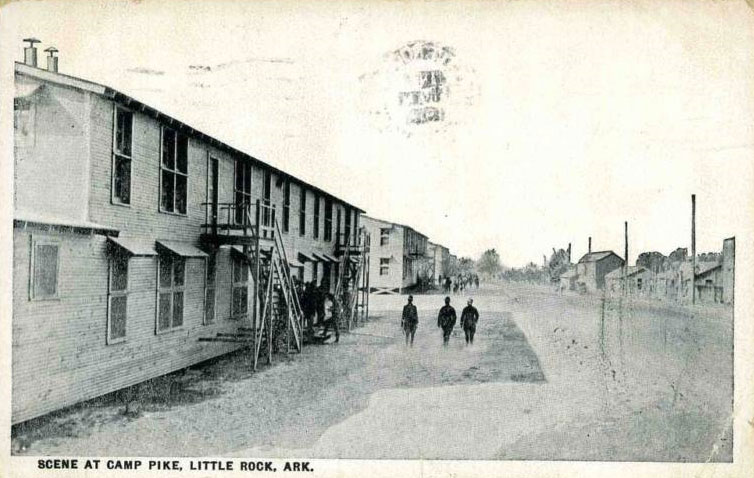
| 10:25, 15 October 2009 | Camp-pike-scene.jpg (file) |  |
82 KB | Phil | Camp Pike. Postcard in public domain. | 1 |
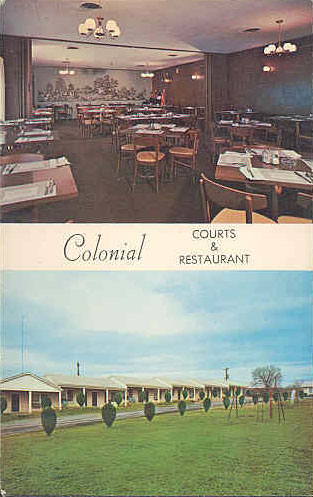
| 10:26, 15 October 2009 | Colonial-courts-morrilton.jpg (file) |  |
43 KB | Phil | Colonial Courts & Restaurant in Morrilton, Arkansas. Postcard in public domain. | 1 |
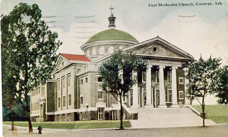
| 10:26, 15 October 2009 | First-methodist-conway.jpg (file) |  |
45 KB | Phil | First Methodist Church in Conway, Arkansas. Postcard in public domain. | 1 |
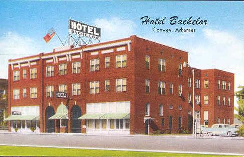
| 10:27, 15 October 2009 | Hotel-bachelor-conway.jpg (file) |  |
52 KB | Phil | Hotel Bachelor in Conway. Postcard in public domain. | 1 |
| 10:27, 15 October 2009 | Magnolia-court-motel.jpg (file) |  |
60 KB | Phil | Magnolia Court Motel in Little Rock, Arkansas. Postcard in public domain. | 1 |
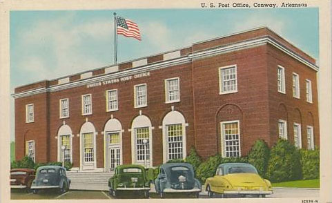
| 10:28, 15 October 2009 | Post-office-conway.jpg (file) |  |
40 KB | Phil | Conway Post Office. Conway, Arkansas. Postcard in public domain. | 1 |
| 10:29, 15 October 2009 | Rainbow-motel-morrilton.jpg (file) |  |
61 KB | Phil | Rainbow Motel in Morrilton, Arkansas. Postcard in public domain. | 1 |
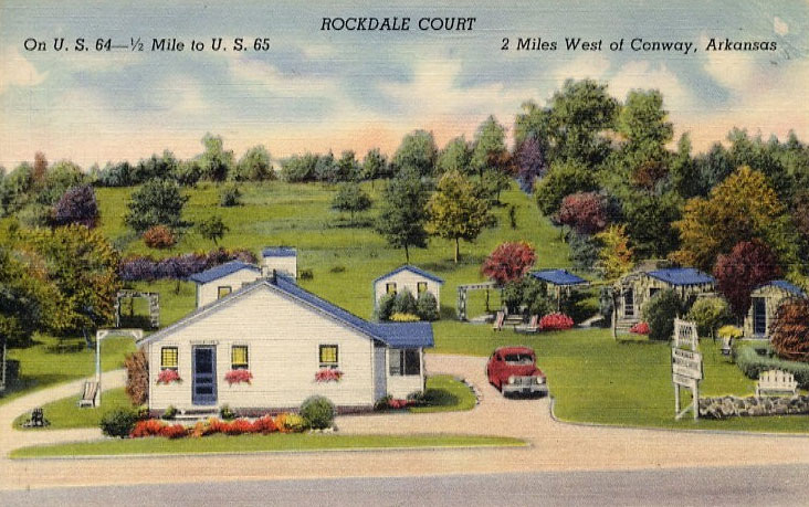
| 10:30, 15 October 2009 | Rockdale-court-conway.jpg (file) |  |
109 KB | Phil | Rockdale Court in Conway, Arkansas. Postcard in public domain. | 1 |
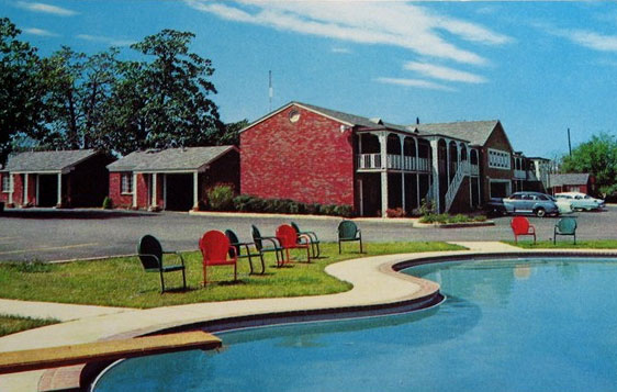
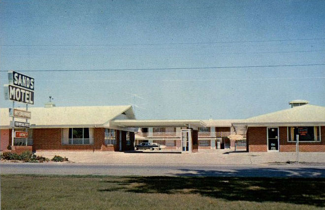
| 10:30, 15 October 2009 | Sands-motel-conway.jpg (file) |  |
67 KB | Phil | Sands Motel in Conway, Arkansas. Postcard in public domain. | 1 |
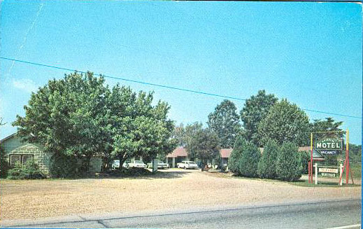
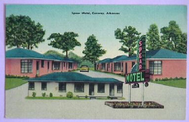
| 10:30, 15 October 2009 | Spear-motel-conway.jpg (file) |  |
26 KB | Phil | Spear Motel in Conway, Arkansas. Postcard in public domain. | 1 |
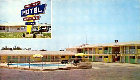
| 10:31, 15 October 2009 | Town-house-motel-conway.jpg (file) |  |
39 KB | Phil | Town House Motel in Conway, Arkansas. Postcard in public domain. | 1 |
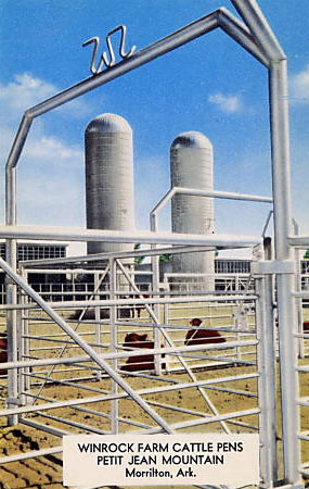
| 10:31, 15 October 2009 | Winrock-farm-postcard.jpg (file) |  |
48 KB | Phil | Winrock Farm near Morrilton, Arkansas. Postcard in public domain. | 1 |
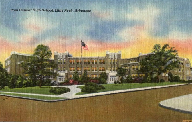
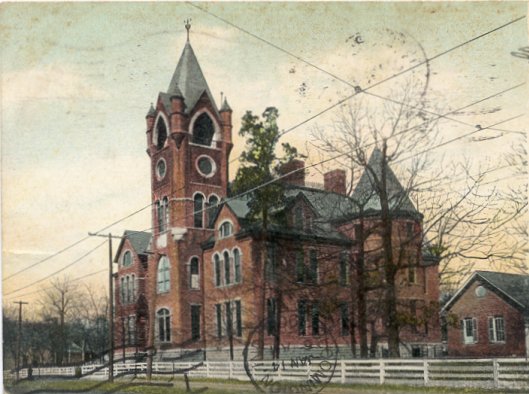
| 22:14, 15 October 2009 | Dunbar-high-postcard.jpg (file) |  |
75 KB | Phil | Dunbar High School. Postcard in public domain. | 1 |
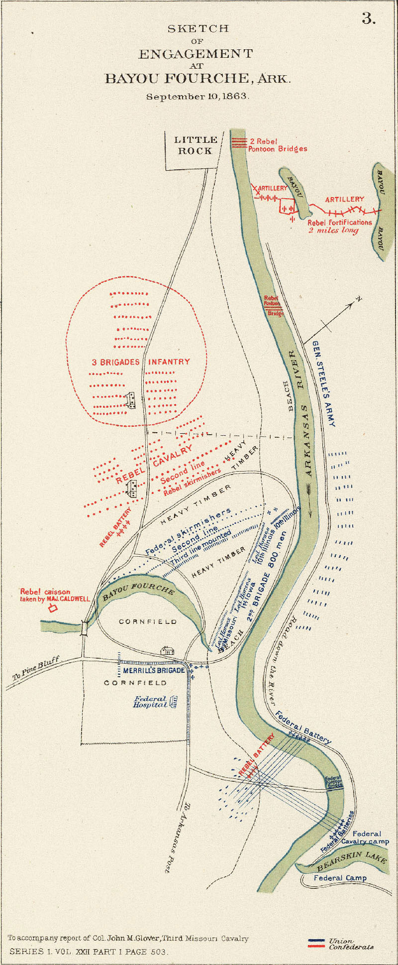
| 00:18, 16 October 2009 | Bayou-fourche-battle.jpg (file) |  |
358 KB | Phil | Map of the Battle of Bayou Fourche. | 1 |
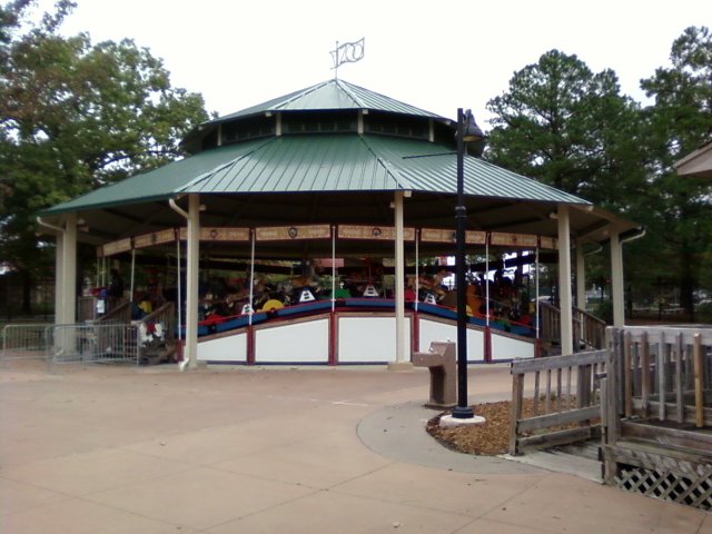
| 13:20, 16 October 2009 | Over-the-jumps.jpg (file) |  |
79 KB | Phil | Spillman Engineering Over the Jumps Carousel. Photo by Phil Frana. | 1 |
| 21:10, 24 October 2009 | Cantrell.JPG (file) |  |
7 KB | Phil | 1 | |
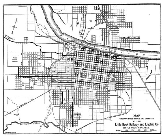
| 21:40, 24 October 2009 | Street-railway-1913.JPG (file) |  |
78 KB | Phil | Map of Little Rock Street Railway & Electric Co. in 1913. Source: ''McGraw Electric Railway Manual,'' vol. 20 (McGraw Publishing Co., 1913), 8. | 1 |
| 16:36, 8 November 2009 | Peabody-school.jpg (file) |  |
52 KB | Phil | Peabody School. Postcard in public domain. | 1 |
| 09:41, 12 December 2009 | Systematics-inc.jpg (file) |  |
24 KB | Phil | Systematics Incorporated logo. | 1 |
| 12:52, 20 December 2009 | Benihana.gif (file) |  |
2 KB | Phil | Benihana logo. | 1 |
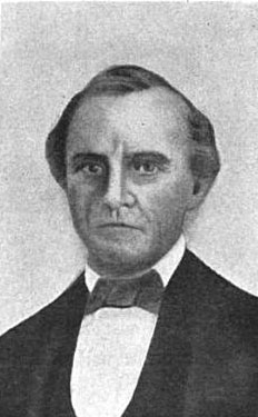
| 14:18, 20 December 2009 | Archibald-yell.jpg (file) |  |
20 KB | Phil | Archibald Yell. Illustration from John Hugh Reynolds, ''Makers of Arkansas History'' (Silver, Burdett and Company, 1905). Image in public domain. | 1 |
| 14:32, 20 December 2009 | Hernando-desoto.jpg (file) |  |
27 KB | Phil | Hernando De Soto. Illustration from John Hugh Reynolds, ''Makers of Arkansas History'' (Silver, Burdett and Company, 1905). Image in public domain. | 1 |